FLYpost software
The software observes and corrects misalignments between the INS and LiDAR, and georeferences the data into a geographic coordinate system. The post-processed INS trajectory, LiDAR scan files and camera images are converted to colored point clouds in LAS format for further processing.
Technical specification
XFLY Documentation
Click on the icon to download!
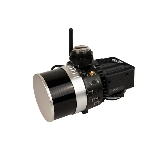
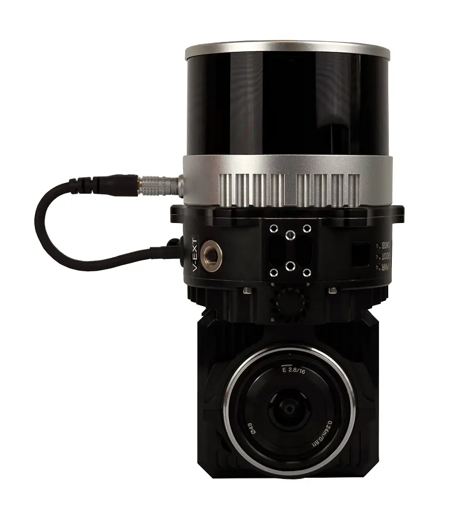
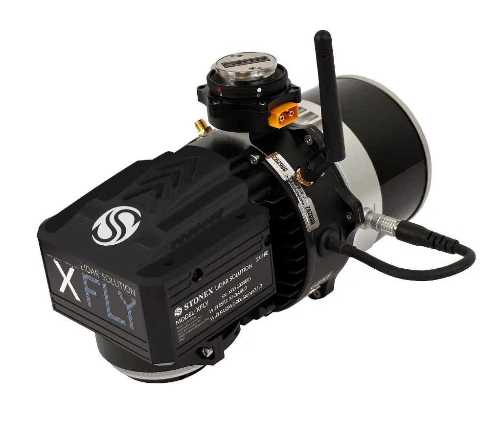
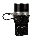
XFLY300
SYSTEM
System Vertical Accuracy (5m/s @50m) | ±3cm |
Recommended AGL | 50-120m |
Weight | 1.23kg (with camera) 0.87kg (no camera) |
Dimensions | 20.8 x 14.8 x 15.2 cm |
Max Flight Time (DJI M300) | 35 Minutes |
External Storage | 256GB USB Included |
Camera
Model | ADTi 24MP RGB |
Lens | Sony E-Mount 16mm, 70° FOV |
Max Trigger Rate | 2 seconds |
Lidar
Sensor* | Hesai XT-32M2X |
Range | 0.5 - 300m 80m @10% (all channels) |
Range Accuracy | ±1cm |
FOV (Horizontal) | 360° |
FOV (Vertical) | 40.3° |
Scan Angle (Vertical) | -20.8° to 19.5° |
Beam Divergence | 0.21° (H), 0.047° (V) 1 |
Channels | 32 |
Returns | 3 |
Pulse rate | 640k/s (single return) 1280k/s (double return) 1920k/s (triple return) |
GPS-aided INS
Constellations | GPS, GLONASS, BEIDOU, GALILEO |
Output Rates | 200HZ-ig (INS) 2000HZ-ig (IMU) |
Pitch/Roll Accuracy | 0.03 (RTK) 2 0.006 (PPK) |
Heading Accuracy | 0.15 (RTK) 2,3 0.03 (PPK) |
Velocity Accuracy | <0.03 m/s |
Position Accuracy | 1cm+1ppm (RTK) 0.5cm (PPK) |
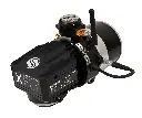
XFLY120
SYSTEM
System Vertical Accuracy (5m/s @50m) | ±3cm |
Recommended AGL | 50-80m |
Weight | 1.7kg (with camera) 1.3kg (no camera) |
Dimensions | 20.8 x 14.2 x 17 cm |
Max Flight Time (DJI M300) | 33 Minutes |
External Storage | 256GB USB Included |
Camera
Model | ADTi 24MP RGB |
Lens | Sony E-Mount 16mm, 70° FOV |
Max Trigger Rate | 2 seconds |
Lidar
Sensor* | Hesai XT-32 |
Range | 0.5 - 120m 80m @10% (c9-24) 50m @10% (c1-8; 25-32) |
Range Accuracy | ±1cm |
FOV (Horizontal) | 360° |
FOV (Vertical) | 31° |
Scan Angle (Vertical) | -16° to 15° |
Beam Divergence | 0.04° (H), 0.098° (V) 1 |
Channels | 32 |
Returns | 2 |
Pulse rate | 640k/s (single return) 1280k/s (dual return) |
GPS-aided INS
Constellations | GPS, GLONASS, BEIDOU, GALILEO |
Output Rates | Up to 200HZ (INS) Up to 2000HZ (IMU) |
Pitch/Roll Accuracy | 0.03 (RTK) 2 0.006 (PPK) |
Heading Accuracy | 0.15 (RTK) 2,3 0.03 (PPK) |
Velocity Accuracy | <0.03 m/s |
Position Accuracy | 1cm+1ppm (RTK) 0.5cm (PPK) |