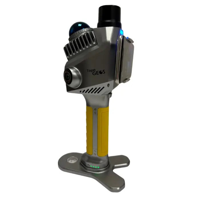
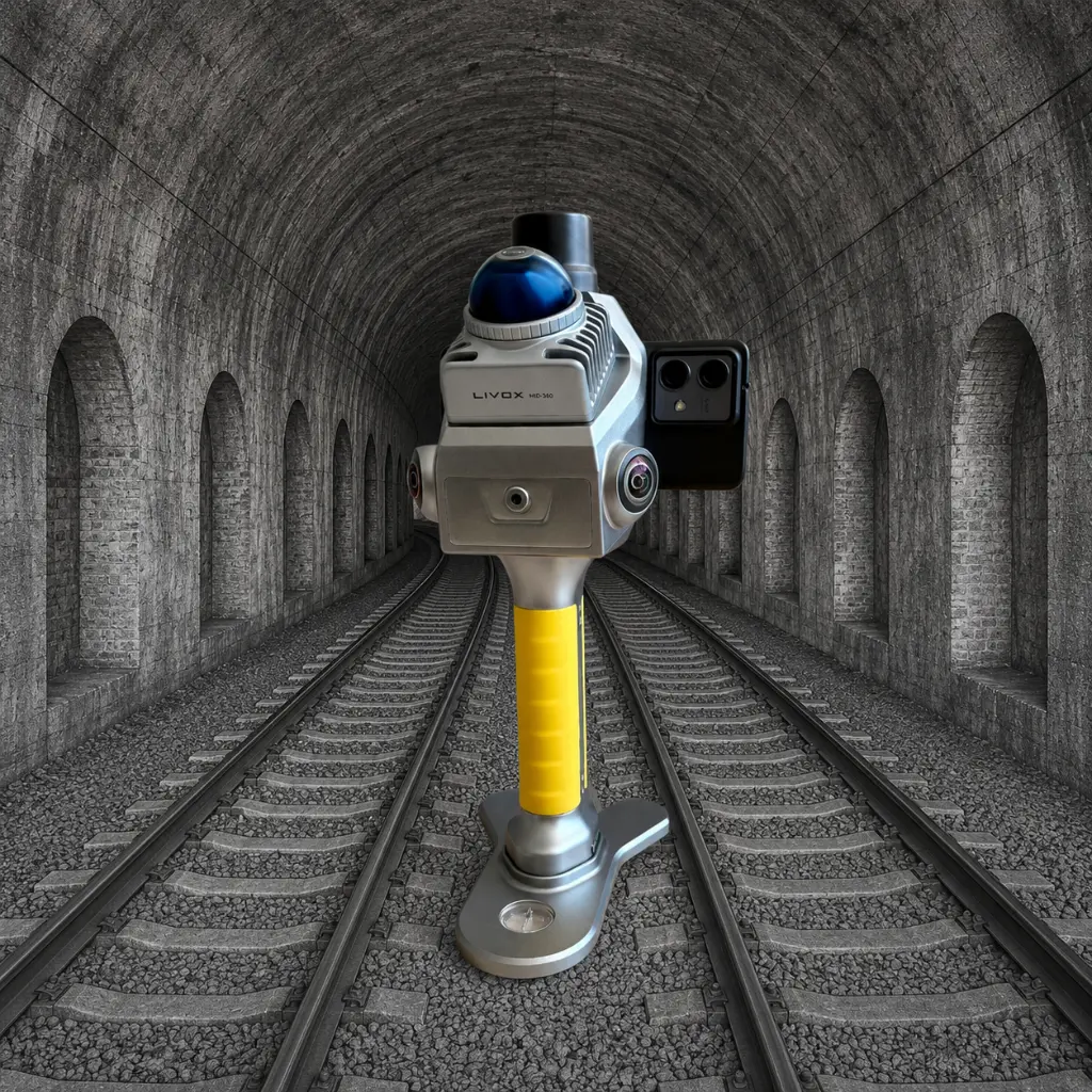
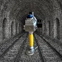
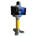
Compact. Powerful. Precise.
Precision Imaging with Professional-Grade Mechanical Shutter
The L-40 is equipped with a mechanical shutter that captures images with global exposure, eliminating the rolling shutter effect. This allows for sharp, accurately coloured point clouds.
The shutter is synchronized with the onboard positioning system, ensuring precise spatial alignment of each image. This makes the L-40 Handy SLAM suitable for close-range photogrammetry and detailed 3D modelling.
One-Click Processing & High-Quality Point Clouds
Point cloud data can be exported and integrated with a single operation, streamlining the post-processing workflow. The high-resolution cameras capture detailed, colour-accurate point clouds, suitable for BIM environments and technical documentation requiring precision.
Dual 16MP Sensors for Sharp, Accurate Colour
Equipped with two 1-inch 16MP CMOS sensors (2.4 μm pixel size), the L-40 delivers high-definition images and precisely coloured point clouds.

TopoGEOS Capture App
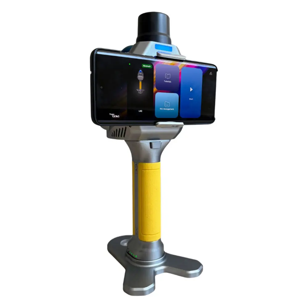
The L-40 SLAM system includes a dedicated mobile application designed for Android smartphones. The app allows full control of the scanner directly from the field, enabling users to start scans, monitor real-time point cloud acquisition, and manage data processing.

TopoGEOS PointClouds Studio
TopoGEOS PointClouds is the post-processing software developed for the L-40 SLAM system. It converts raw scan data into precise, georeferenced point clouds with tools for SLAM trajectory refinement, noise filtering, and image alignment.
Compatible with standard formats and CAD/GIS platforms, it ensures a streamlined and accurate 3D workflow.
L-40 Technical Features
LIDAR
| Max Range | 0.1–40 m @ 10% reflectivity, 0.1–70 m @ 80% reflectivity |
| Min Range | 0,1 m |
| Scanning Point Frequency | 200,000 pts/s (10 Hz) |
| Field of view | 360° horizontal, -7° to 52° vertical |
| Laser Class | Class 1 (905 nm) |
| Wavelength | 905nm |
RGB CAMERA
| Resolution | 16 MP (16 megapixel) |
| Field of View | Horizontal: 140°, Vertical: 200° |
| Focal length | 3,5 mm |
| Aperture | Fix F2.8 |
| Image Resolution | 3504 × 4672 pixel |
| Sensor size | 13.13 × 8.76 mm (1-inch sensor) |
| Pixel size | 2,4 μm |
| Shutter Type | Mechanical shutter; Electronic shutter |
| Number of Lenses | 2 |
V-SLAM CAMERA
| Focal length | 1,68 mm |
| Image Resolution | 1280 × 800 pixel |
| Effective Pixels | 1 MP |
| Frame Rate | 30 Hz |
SYSTEM
| RTK Accuracy | Horizontal: 0.8 cm, Vertical: 1.5 cm + 1 ppm |
| Supported BeiDou Signals | B1I, B2I, B3I, B1C, B2a, B2b |
| Supported GPS Signals | L1 C/A, L1C, L2C, L2P(Y), L5 |
| Supported GLONASS Signals | L1, L2, L3 |
| Supported Galileo Signals | E1, E5a, E5b, E6 |
| Supported QZSS Signals | L1 C/A, L1C, L2C, L5 |
| Supported NavIC Signals | L5 |
| Supported SBAS Signals | L1 C/A |
| Control Point Support | Ground and wall control points |
| Data Storage | 256 GB SSD (supports storage expansion) |
| Communication | Wi-Fi, Bluetooth, USB Type-C |
| Operating Mode | SLAM mode, real-time visualization |
| Working Time | 150 min |
| Processing mode | Post-processing with TopoGEOS PointCloud Studio |
ELECTRICAL SPECIFICATION
| Battery capacity | 45,36 Wh (3150 mAh) |
| Supply Voltage | 14,8–16,8 V |
| Working Time | 150 min |
| Charging Port | USB Type-C |
| Charging Power | USB PD 30 W |
| Charging Time | 120 min |
PHYSICAL SPECIFICATION
| Weight | 1.08 kg (with battery) |
| Dimensions | 110,5 × 140 × 313,3 mm |
| Operating temperature | -20°C to +55°C (-4°F to 131°F) |
| Operating Humidity | <95% |
| Water & Dust Protection | IP54 |